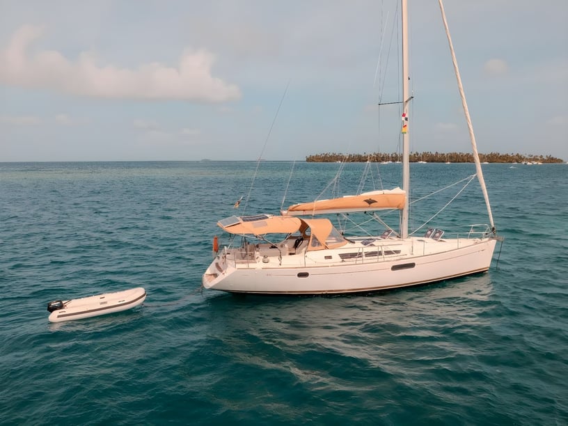
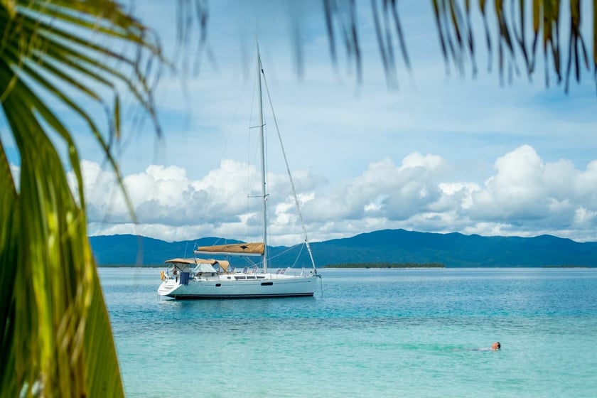
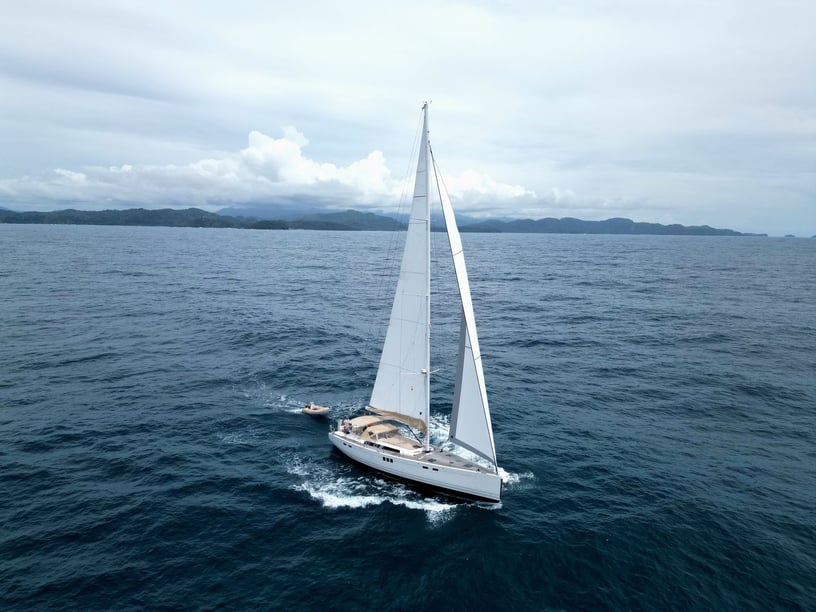
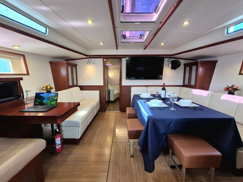
Yacht charter in Panama
Panama brings two very different cruising coasts into one country. The Caribbean side is shaped by coral reefs, mangrove channels, sheltered archipelagos and small island communities. On the Pacific, the Gulf of Panama, the Pearl Islands and the Gulf of Chiriquí offer larger tidal ranges, more exposed passages and access to remote marine areas.
For travelers considering a yacht charter in Panama, this variety makes choosing the right coast the first important decision. An itinerary may focus on reef-fringed island hopping in Guna Yala, mangroves and Afro-Caribbean settlements around Bocas del Toro, or a Pacific journey from Panama City toward the Pearl Islands and Coiba. The Panama Canal connects the two oceans, but a transit is a separately regulated operation rather than a routine addition to a coastal charter.
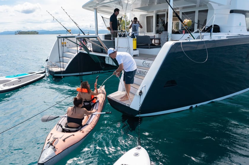
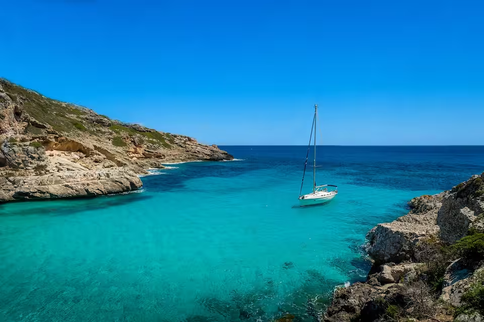
Exploring by yacht is especially valuable beyond the main service hubs. It allows time to be divided between short passages, swimming and snorkeling stops, quiet anchorages and visits ashore, while reaching islands where infrastructure remains limited.
Where to charter along Panama’s coasts
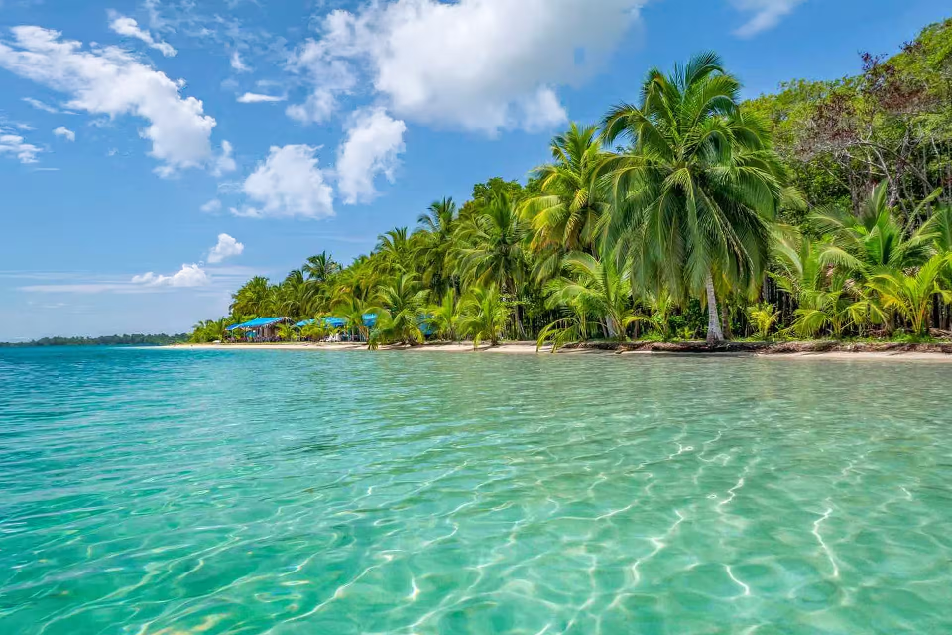
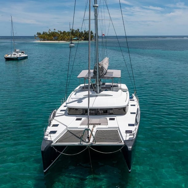
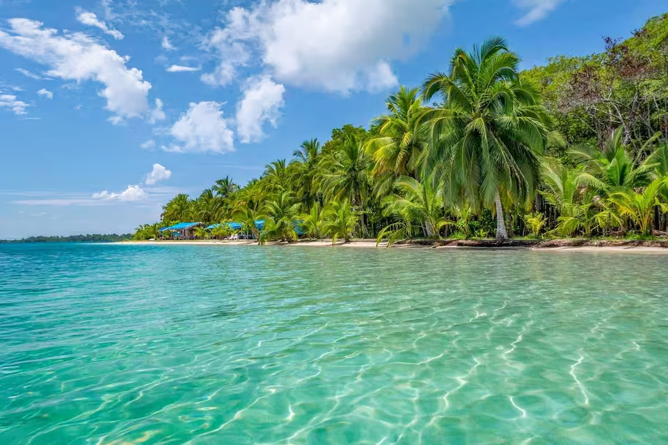
Guna Yala, also known as the San Blas Islands, is Panama’s defining Caribbean island-hopping area. Coral cays, reefs and Guna communities create a trip centered on short passages and time at anchor. The region has Indigenous territorial governance and locally managed access arrangements, so respectful use of authorized services and observance of community permissions are essential parts of planning.
Farther west, Bocas del Toro has a different character. Its cruising grounds combine mangroves, reefs and islands such as Bastimentos, Isla Carenero and the Cayos Zapatillas. Bocas Town on Isla Colón provides a practical base, while the surrounding archipelago suits travelers who want to combine sheltered island cruising with snorkeling, marine parks and Afro-Caribbean coastal culture.
On the Pacific side, Panama City and Amador give direct access to the Gulf of Panama and the Pearl Islands. Stops around Contadora, Chapera, Pachequita and Isla del Rey can form a relatively compact trip, making this area practical for travelers who want island cruising without beginning in a remote region.
The Gulf of Chiriquí and Coiba suit a more expedition-like journey. Boca Chica and Santa Catalina are key access points, while Coiba and nearby islands are known for substantial marine biodiversity and comparatively limited services. Along the central Caribbean coast, Puerto Lindo and Portobelo combine bays and islands with colonial and Afro-Panamanian history.
What cruising in Panama is like
Conditions vary too much between Panama’s coasts for a single national sailing description. Caribbean itineraries generally involve reefs, coral heads, mangrove channels and close-spaced islands. In Guna Yala, the north-easterly trade winds are often stronger from December through April, creating more active sailing even during the commonly favored season.
Pacific cruising requires particular attention to tides, currents and anchorage exposure. Tidal ranges can approach 15 feet in parts of the Gulf of Panama, affecting passage timing and access through shallow island channels. Northerly winds crossing the isthmus can also reach the Gulf during the dry season. Longer routes toward Coiba and the Gulf of Chiriquí become increasingly remote, with fewer places for fuel, provisioning or technical support.
Reefs and locally variable chart accuracy make daylight navigation and local knowledge important in several archipelagos. For charter guests, this means the skipper’s familiarity with the chosen region can matter as much as the distance on a map. Itineraries should leave room for changing weather, tidal constraints and the limited infrastructure of outlying islands rather than trying to cover both coasts in one hurried trip.
When to plan a Panama yacht charter
Panama does not have one uniform boating season. December through April is generally favored in the Gulf of Panama and Guna Yala, and it also corresponds to the country’s principal high season. The Pacific is usually drier during this period, although northerly winds may make parts of the Gulf livelier. In Guna Yala, stronger trade winds can appeal to sailors but may produce a more energetic trip than travelers expecting consistently calm water.
Bocas del Toro follows a distinct local pattern. Conditions are relatively drier from February into May, while September and October often bring particularly calm seas and comparatively sunny weather there. Those same months are among the wettest in many other parts of Panama, illustrating why timing should be chosen for a specific coast rather than for the country as a whole.
From May through November, Pacific weather becomes less predictable because of afternoon rain, thunderstorms and squalls. June through October is generally the quieter national travel period, with May and November acting as transitional months. Year-round cruising remains possible when the route is matched carefully to regional conditions.
Established cruising routes
From Amador or Panama City, a Gulf of Panama charter can run through the Pearl Islands, using established stops around Chapera, Pachequita, Contadora and Isla del Rey. This keeps the route focused on one island group and avoids the long passages required to reach Panama’s western Pacific coast.
In Bocas del Toro, an island-hopping circuit may connect Isla Colón with Hospital Point, Coral Cay, Isla Bastimentos, Cayos Zapatillas, Isla Carenero and Isla San Cristóbal. Along the central Caribbean coast, routes can link Venas Azules, Isla Grande and Portobelo before continuing east toward the Cayos Holandeses and Guna Yala.
Travelers with more time can consider an extended Pacific itinerary from Panama City and the Pearl Islands toward Coiba, Santa Catalina, the Gulf of Chiriquí and Boca Chica. This is a much more ambitious route, with longer distances and increasingly limited services.
A full canal transit between Balboa and the Colón entrance can connect the two oceans, but it requires advance arrangements under Panama Canal Authority procedures. It should be planned as a dedicated operational component, not assumed to be included in an ordinary coastal itinerary.
Nature, culture and time ashore
A Panama yacht charter can combine snorkeling and diving with secluded anchorages, island communities and significant maritime history. In the Caribbean archipelagos, reefs and coral cays shape days around swimming stops and short island passages. Mangroves and protected marine areas add another dimension, particularly around Bocas del Toro and Isla Bastimentos.
Guna Yala offers cultural encounters as well as coastal scenery. Guna communities are known for molas, layered appliqué textile panels closely associated with dress and identity. Visits should respect community permissions and local governance rather than treating inhabited islands simply as sightseeing stops.
Around Bocas del Toro, Afro-Caribbean food traditions include rondón, a seafood and coconut-milk stew, along with Pan Bon and escabeche. The Colón coast adds Congo music, dance and ritual traditions, while Portobelo and San Lorenzo reflect the Spanish defensive system that once protected trade across the isthmus.
On the Pacific, Coiba and the surrounding Eastern Tropical Pacific environment are central draws for marine-life enthusiasts. Humpback whales migrate through waters including the Pearl Islands and Gulf of Chiriquí principally from July through October. Protected areas such as Coiba and Bastimentos have conservation and visitor-management rules that should be checked before arrival.
Airports, marinas and departure points
Tocumen International Airport is Panama’s principal international gateway. From Panama City, travelers can reach the Pacific marinas around Amador, including Flamenco Marina and La Playita Marina, or continue by road toward Colón and the Caribbean entrance to the canal. Amador and Balboa are practical starting points for the Pearl Islands.
Domestic flights serve Bocas del Toro’s Isla Colón, where Bocas Town and Bocas Marina provide access to the surrounding archipelago. Enrique Malek International Airport in David is the main air gateway for Boca Chica and the Gulf of Chiriquí, while Santa Catalina is another established Pacific departure point for Coiba.
Guna Yala is commonly reached by road from Panama City to the Cartí port area, followed by a local boat transfer. On the central Caribbean coast, Shelter Bay Marina, Linton Bay Marina and the Portobelo area serve routes around Colón and eastward. Provisioning and technical services are concentrated in these established hubs, so remote itineraries should prepare before leaving them.
How to choose and plan your charter
Begin by choosing a cruising region rather than trying to build one itinerary around the whole country. Guna Yala and Bocas del Toro suit Caribbean island hopping but have different weather patterns and cultural settings. The Pearl Islands are readily approached from Panama City, while Coiba and the Gulf of Chiriquí call for more time, greater self-sufficiency and careful passage planning.
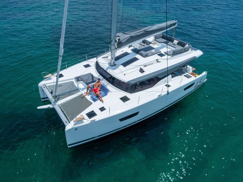
Match the trip length to the distances and available services. A short boat rental in Panama may focus on the Gulf of Panama or one compact archipelago, whereas a multi-day yacht charter can include more remote anchorages and a broader sequence of islands. A canal transit, if desired, must be arranged separately and well in advance.
Before confirming a route, clarify who is responsible for local permits, protected-area requirements, community access arrangements and canal procedures. Ask how the itinerary accounts for Pacific tides, Caribbean reefs, seasonal squalls and the concentration of fuel and provisioning facilities around major hubs. Travelers comparing a sailing-focused trip can also explore a sailing holiday in Panama.
The most suitable plan is not simply the route with the greatest distance. In Panama, a well-paced charter leaves enough flexibility for tides and weather while allowing meaningful time for swimming, snorkeling, nature and visits ashore.