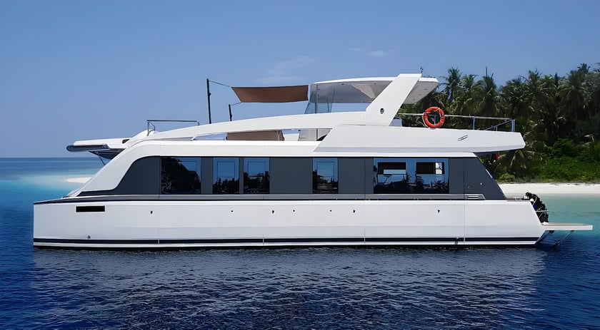
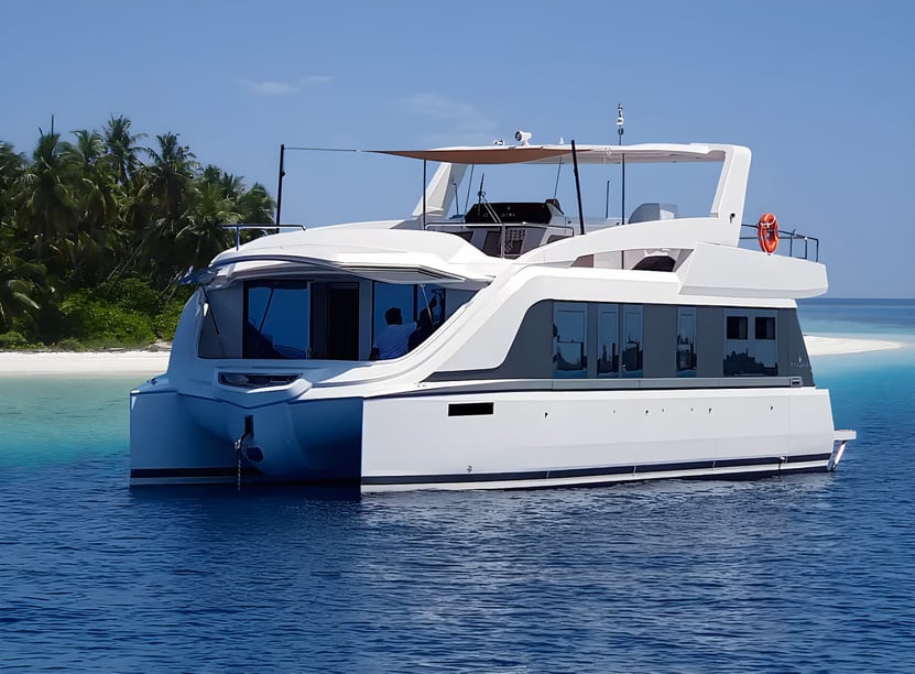
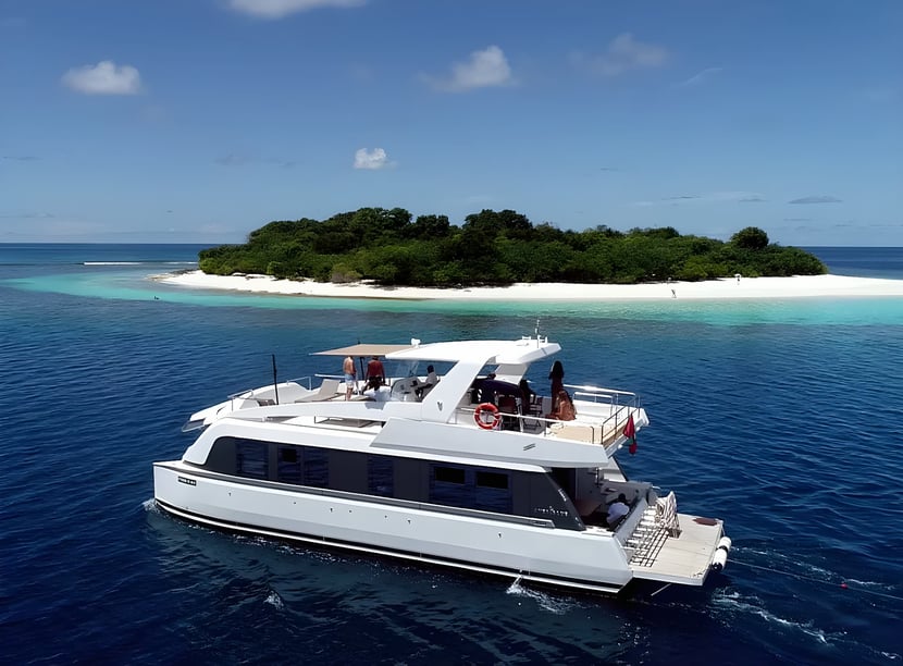
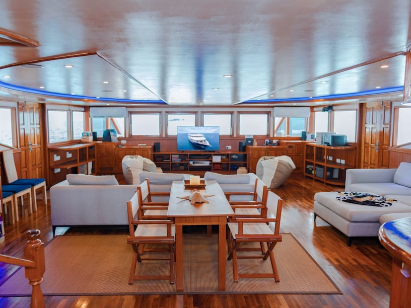
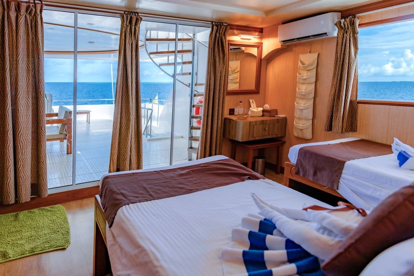
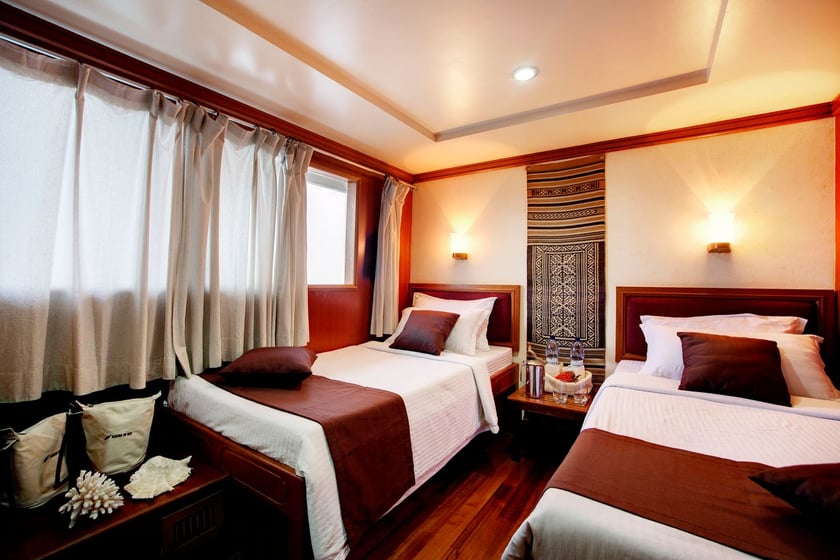
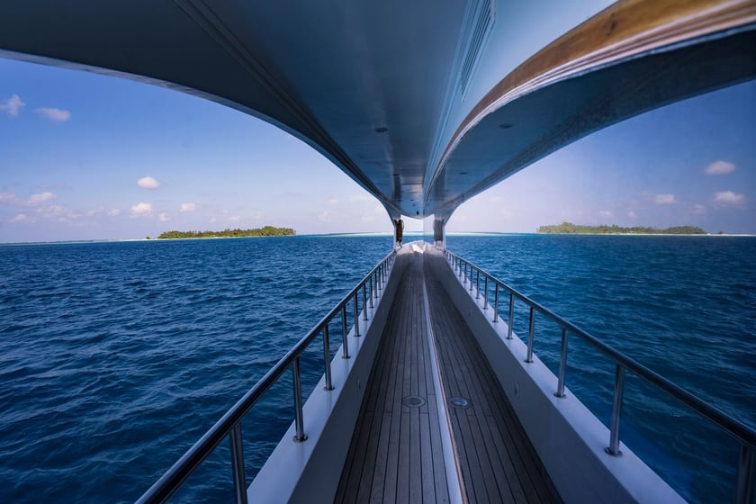
Yacht charter in the Maldives
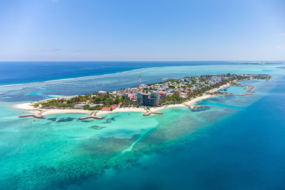
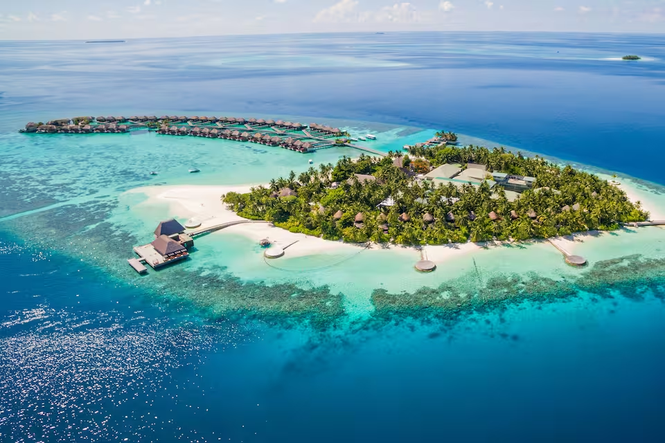
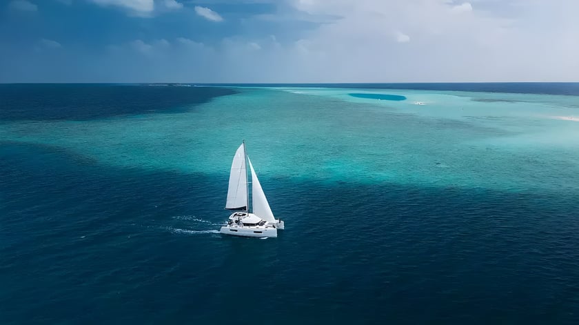
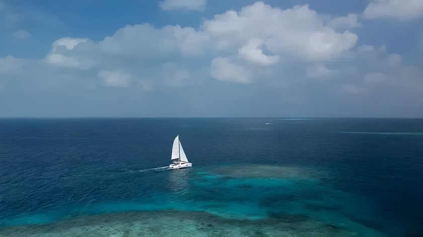
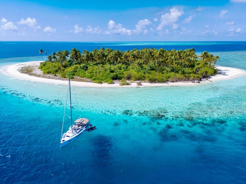
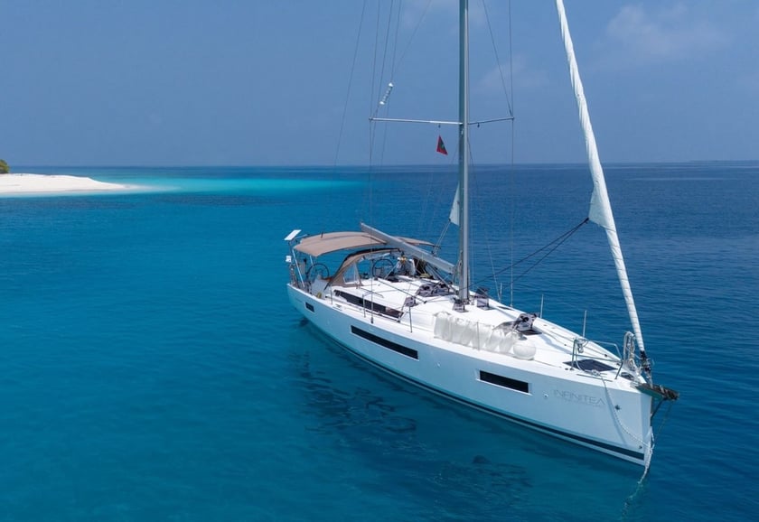
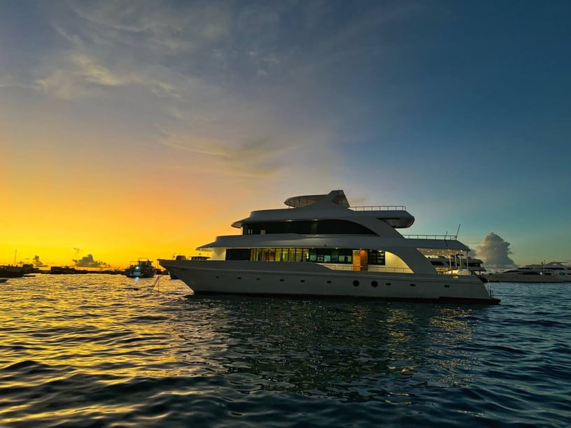
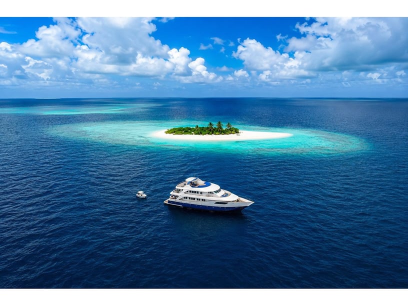
A yacht charter in the Maldives offers a different perspective on a country formed almost entirely by coral islands, reefs and open water. Its approximately 1,192 islands are grouped into 26 natural atolls, stretching about 871 kilometres across the central Indian Ocean. Within the atolls, broad lagoons contain patch reefs, sandbanks and coral heads; between them lie exposed stretches of ocean.
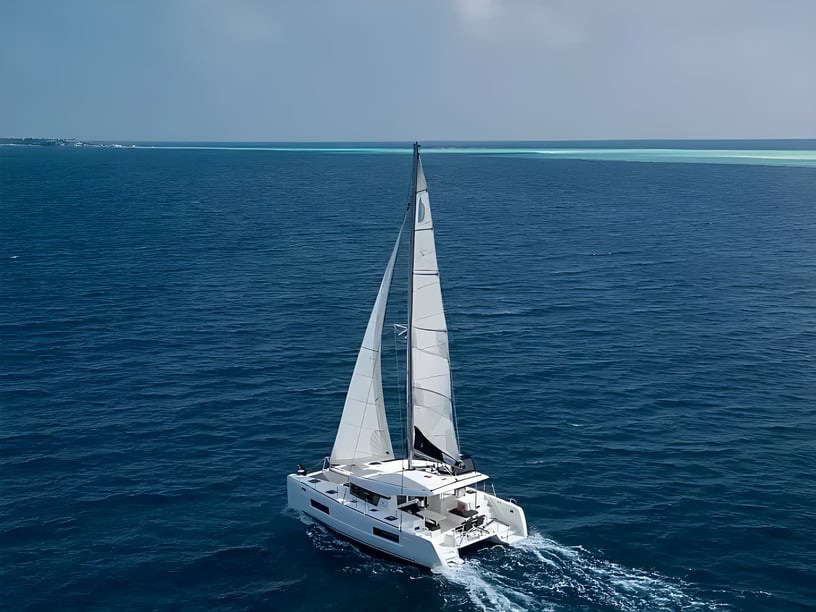
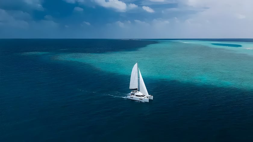
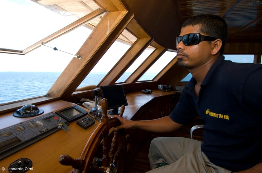
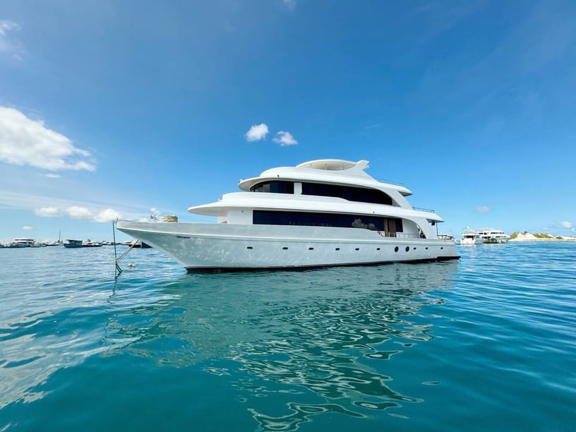
This geography gives a Maldivian charter two distinct rhythms. Some days can focus on short lagoon passages, swimming, snorkeling and sandbank stops. Longer itineraries may cross between atolls, sometimes with overnight passages. The central atolls around Malé offer the most convenient introduction, while Baa and nearby northern atolls are known for seasonal manta encounters. The deep south is better suited to expedition-style cruising and experienced divers. Because reef passes, currents and limited marina infrastructure shape how trips operate, crewed yachts and liveaboards are characteristic ways to explore.
Choosing a Maldivian cruising area
The central atolls are the natural starting point for many first visits. North Malé and South Malé combine straightforward access from the capital area with lagoon cruising, reef sites and inhabited islands. From there, itineraries can extend toward Vaavu, Rasdhoo and Ari Atoll. South Ari is particularly relevant to marine-life trips because its protected area supports year-round whale-shark habitat. This region suits travelers seeking a varied charter without committing to the long transfers required farther north or south.
Baa and Raa atolls provide a more northerly alternative. Baa Atoll is a UNESCO-designated biosphere reserve, and seasonal programs often focus on manta feeding at Hanifaru Bay during the southwest monsoon. Dharavandhoo offers useful regional access, making it possible to begin closer to Baa rather than cruising all the way from Malé.
The deep south has a more remote, passage-oriented character. Huvadhoo, Fuvahmulah and Addu are separated by open ocean, and established liveaboard programs here emphasize diving and large marine-life encounters. These routes are generally better for travelers comfortable with longer sea passages than for those seeking mainly short lagoon hops.
What cruising conditions are like
Inside an atoll, yachts can travel through water sheltered by the surrounding reef rim, but sheltered does not mean navigationally simple. Coral heads require attentive route planning, and kandus—the reef passes connecting lagoons with the open sea—can carry strong tidal and ocean currents. Shelter also changes with the orientation of each atoll and the prevailing monsoon.
Inter-atoll travel is a different experience. These legs cross exposed Indian Ocean water and can involve swell, stronger wind or overnight sailing. A route that combines several atolls therefore feels more like an offshore journey than a sequence of short island transfers. This distinction is important when choosing a charter: travelers prioritizing frequent swimming stops may prefer a concentrated central-atoll itinerary, while experienced divers and passage-minded guests may value the wider range of a northern or deep-south expedition.
Dedicated marina berthing is limited, so many trips rely on lagoon anchorages, permitted moorings and tender transfers ashore. Weather and pass conditions can also change the order of planned stops.
The best time to charter
December through April is the principal recreational cruising season. December, January, February and March are particularly suitable, with the northeast monsoon generally bringing drier weather, lighter conditions and a greater likelihood of calmer inter-atoll crossings. January to March is usually the most consistently dry part of this period.
April is transitional, while the southwest monsoon normally develops around mid-May and continues into November. It brings more rain, stronger westerly winds, squalls and rougher open-water conditions. Cruising remains possible, especially for diving, surfing and marine-life itineraries, but schedules need more flexibility. The southwest monsoon is also associated with seasonal manta feeding around Baa Atoll and Hanifaru Bay, giving some travelers a clear reason to accept less settled weather.
November is another transition toward the drier season. Conditions are not uniform across the country: rainfall generally increases toward the southern atolls, and individual routes may experience different shelter depending on monsoon direction.
Established charter routes
A central-atolls circuit commonly begins around Malé or Hulhumalé and links North Malé, South Malé, Vaavu, Ari and Rasdhoo. The sequence is usually adjusted to suit currents and weather rather than followed as a fixed loop. This format offers a balanced introduction, mixing reef-sheltered cruising with selected open-water legs.
Northern itineraries may begin in the capital area or closer to Baa Atoll at Dharavandhoo. They typically combine Baa and Raa, while longer programs can continue toward Lhaviyani and Noonu. Starting regionally reduces transfer time and leaves more of the trip for cruising within the northern atolls.
In the deep south, established liveaboard routes connect Kooddoo in Huvadhoo Atoll with Fuvahmulah and Gan in Addu Atoll. These voyages include exposed passages and are primarily oriented toward experienced diving and marine-life encounters. Whichever region is chosen, a Maldivian itinerary is best treated as a flexible framework rather than a rigid day-by-day schedule.
Life on the water and ashore
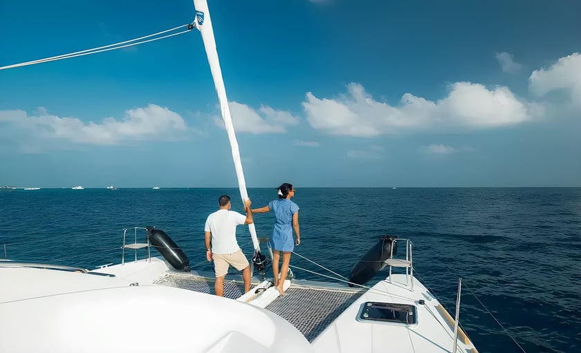
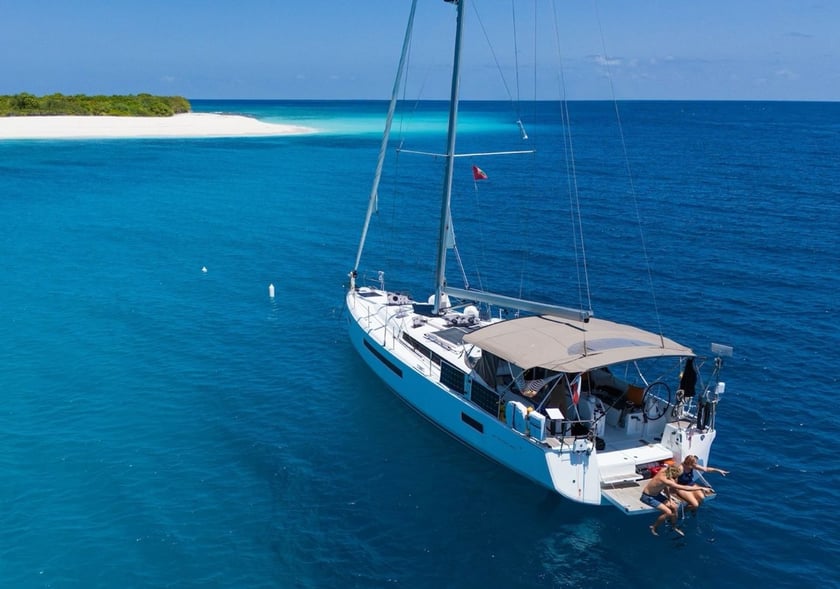
A charter day can be divided between lagoon passages, snorkeling over reefs, swimming from sandbanks and traveling ashore by tender. The ability to move between reef systems is a defining advantage over staying on a single island, particularly for travelers interested in diving or marine life.
Hanifaru Bay is associated with seasonal manta aggregations, while the South Ari Marine Protected Area supports year-round whale-shark habitat. Baa, Addu and Fuvahmulah are all UNESCO-designated biosphere reserves, although conditions and protected-area rules differ by site. Visits may require permits, guides, vessel registration or designated moorings.
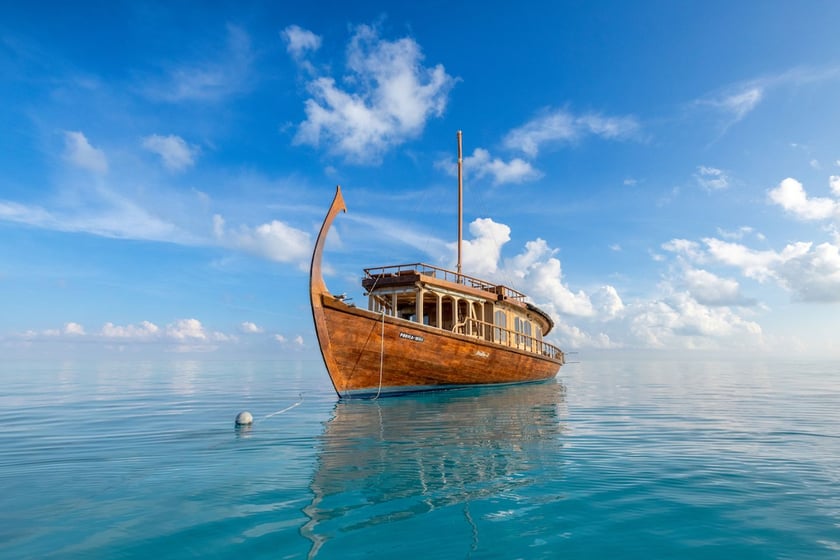
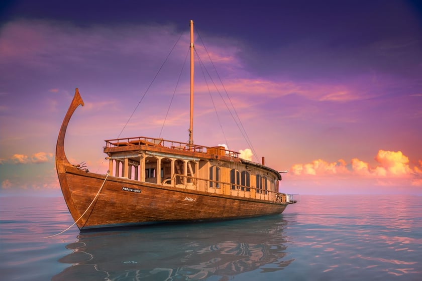
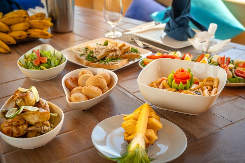
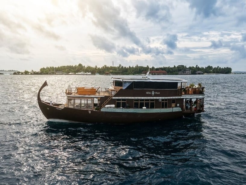
Time ashore can introduce the country’s maritime culture. The traditional dhoni developed over centuries for fishing, carrying goods and inter-island travel, while pole-and-line tuna fishing remains closely tied to Maldivian identity. Tuna and coconut also shape local cooking; mas huni combines tuna, grated coconut, onion, chilli and lime. On inhabited islands, visitors should respect Islamic customs and local dress standards. Alcohol is generally limited to licensed resorts and tourist vessels.
Gateways and departure points
Velana International Airport, beside Malé, is the main international gateway and the principal transfer hub for central and northern charters. Many trips embark around Malé or Hulhumalé, while The Marina at CROSSROADS Maldives provides another departure point in the capital area.
Domestic flights, seaplanes, speedboats and ferries connect the dispersed atolls. Dharavandhoo is useful for Baa itineraries, and Maamigili serves the Ari area. For deep-south trips, Kooddoo provides access to Huvadhoo, Fuvahmulah has its own airport, and Gan International Airport serves Addu Atoll. Choosing a regional embarkation point can avoid using valuable charter time for a long positioning passage from Malé.
Planning the right charter
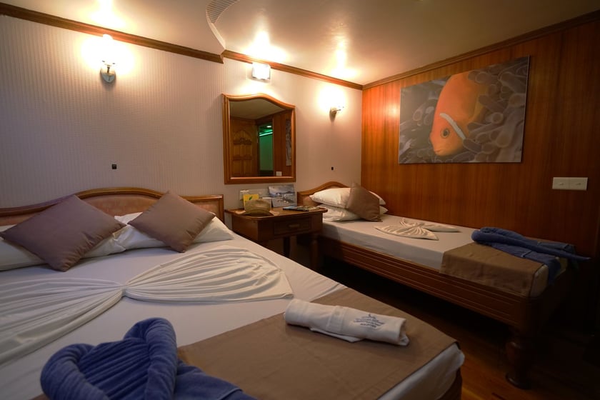
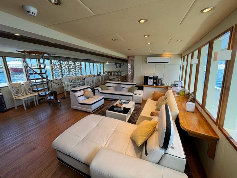
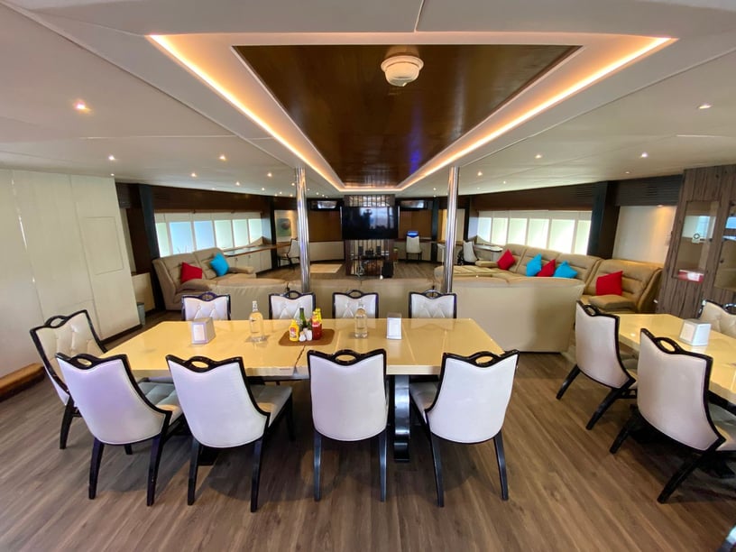
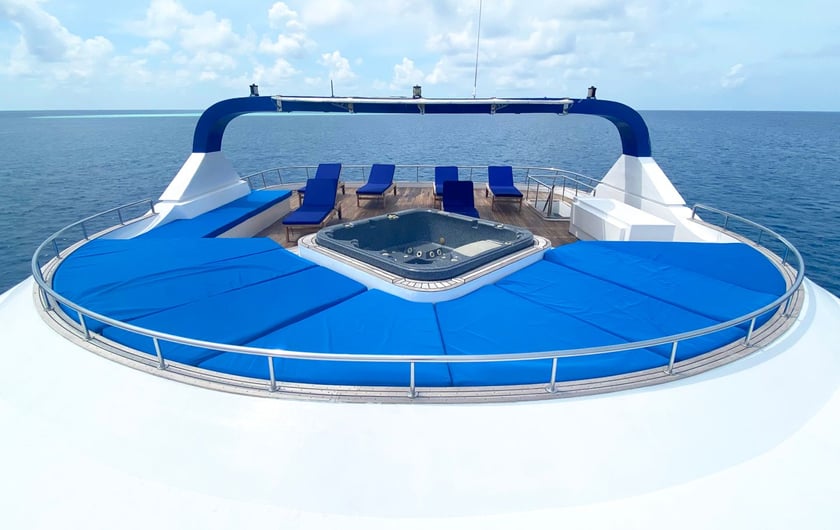
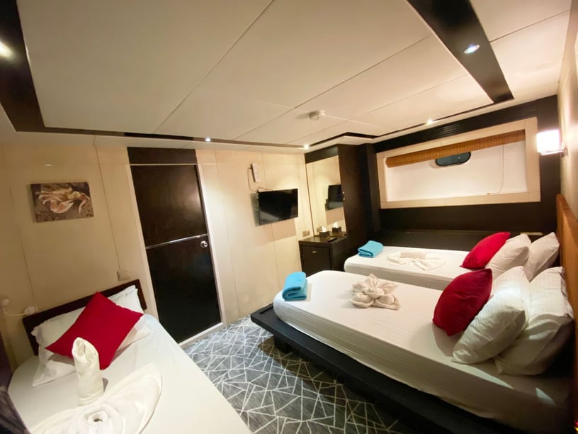
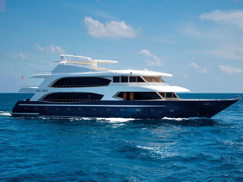
When comparing yacht charter or boat rental in the Maldives, begin with the intended cruising region rather than the number of islands on an itinerary. Shorter central routes can prioritize swimming, snorkeling and frequent stops. Northern programs may be timed around seasonal marine life, while deep-south expeditions require greater comfort with open-water passages. A crewed yacht or liveaboard is a natural format in a destination where reef navigation, pass currents and limited marina facilities require local operational knowledge.
Ask how much of the proposed route involves lagoon cruising versus inter-atoll crossings, whether overnight passages are expected and how weather changes will be handled. It is also useful to confirm arrangements for diving, tenders, protected-area access and transfers between the airport and embarkation point.
Foreign yachts should verify current port-of-entry, customs, immigration, local-agent and cruising-permit requirements before arrival. Anchoring must avoid coral and seagrass and should be limited to permitted sand areas or designated locations. Daylight approaches are generally preferable where coral hazards affect visibility. Building flexibility into the schedule is therefore part of responsible planning, not simply a response to poor weather.